Bushfire recovery support and resources now available for land managers affected by the Deep Creek and Nangkita fires.

Eastern Mount Lofty Ranges Water Allocation Plan
Eastern Mount Lofty Ranges Water Allocation Plan
Water is essential to life, livelihoods and the environment.
To make sure there’s enough to go around, now and into the future, we need to manage it carefully. Water Allocation Plans (WAPs) help provide that certainty. They set out clear rules for how water can be shared, balancing the needs of people, industry and the environment, while supporting long-term sustainability.
The Eastern Mount Lofty Ranges Water Allocation Plan is built on strong scientific research and shaped through extensive community consultation. It reflects both the best available knowledge and the views of local water users.
You can download the plan below to learn more.

Updating the Mount Lofty Ranges Water Allocation Plans
The water allocation plans for the Mount Lofty Ranges are now being revised. Find out what’s changing, how the process works, and how you can have your say.
Frequently asked questions
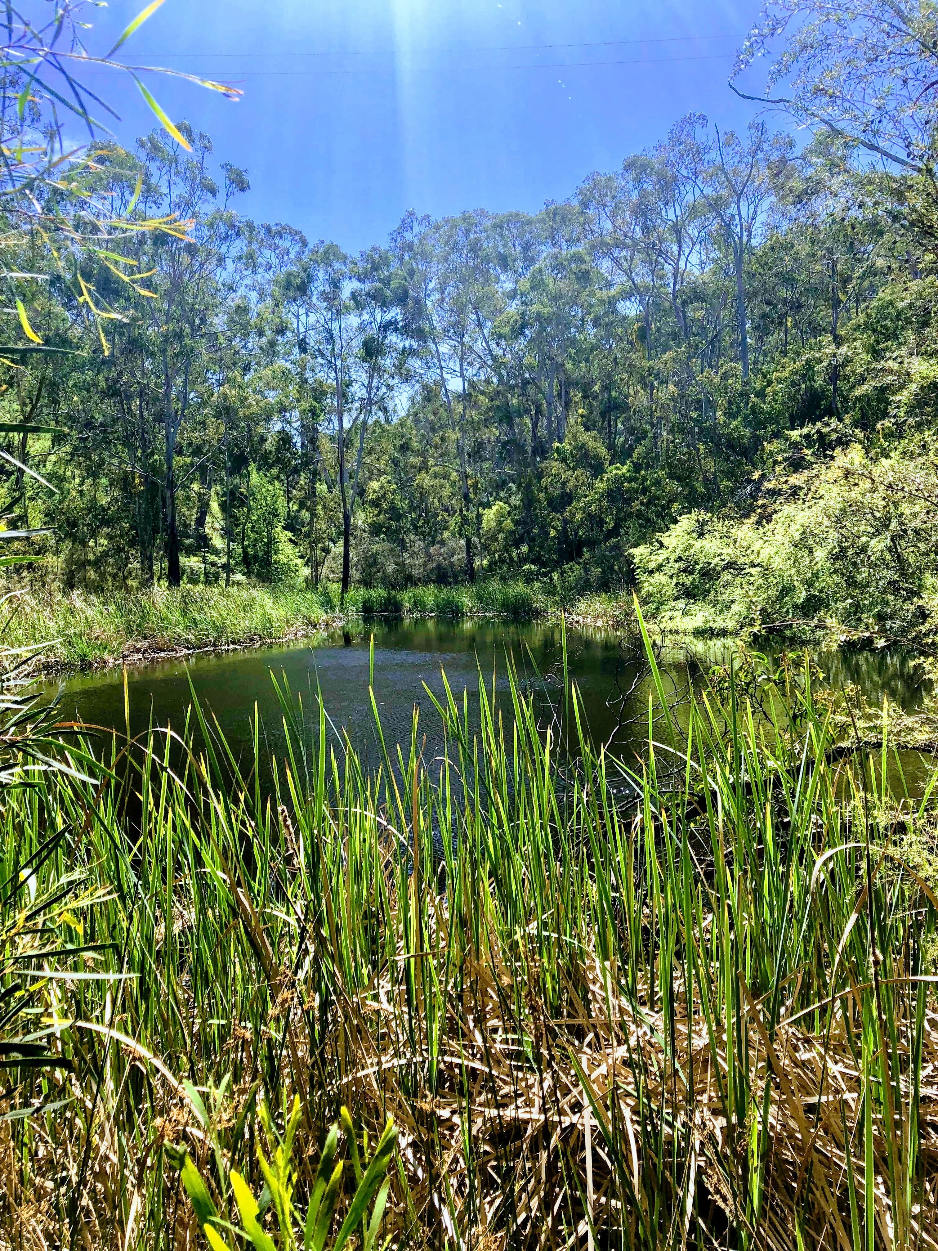
The Prescribed Water Area covered by the Eastern Mount Lofty Ranges (EMLR) Water Allocation Plan (WAP) extends from Mount Pleasant in the north to Goolwa in the south and includes the townships of Mt Barker, Langhorne Creek, Mannum and Mount Compass. Its watercourses flow into the River Murray and Lake Alexandrina.
The Eastern Mount Lofty Ranges Prescribed Water Resource Area is predominantly within the Hills and Fleurieu region, with a smaller part in the Murraylands and Riverland region.
For enquiries about the Eastern Mount Lofty Ranges Water Allocation Plan, contact Landscapes Hills and Fleurieu.
The Water Allocation Plan for the Eastern Mount Lofty Ranges Prescribed Water Resources Area was first adopted in 2013 and was developed by the former South Australian Murray-Darling Basin Natural Resources Management Board in collaboration with the Eastern Mount Lofty Ranges Community Advisory Committee and key stakeholders.
In 2019 minor changes were made to the WAP by the Minister for Environment and Water to ensure it was Basin Plan compliant. None of these changes affected individual rights to take or use.
Water Allocation Plans are reviewed at least every 10 years to ensure they continue to meet the needs of both the community and the environment. Following the 2024 review, the Eastern Mount Lofty Ranges Water Allocation Plan is now being revised.
Find out what’s changing, how the process works, and how you can have your say.
The Hills and Fleurieu Landscape Board, together with the Department for Environment and Water, continually monitor the Eastern Mount Lofty Ranges Prescribed Water Resources Area.
The results contribute to regular groundwater and surface water status reports, which help guide the review and update of Water Allocation Plans.
The Eastern Mount Lofty Ranges Prescribed Water Resources Area falls within the catchment area of the Murray-Darling Basin and the Water Allocation Plan has been accredited under the Basin Plan. Water user’s obligations to the Basin Plan are met by complying with the local Water Allocation Plan.