Bushfire recovery support and resources now available for land managers affected by the Deep Creek and Nangkita fires.

Climate and weather data
Understanding climate
Understanding how climate trends affect your property is an important part of planning ahead. Whether you’re managing livestock, cropping or mixed farming, these tools can help you assess risks, explore future scenarios and make informed decisions for your business.
Explore climate information and forecasts tailored for Australian farmers at the following sites:
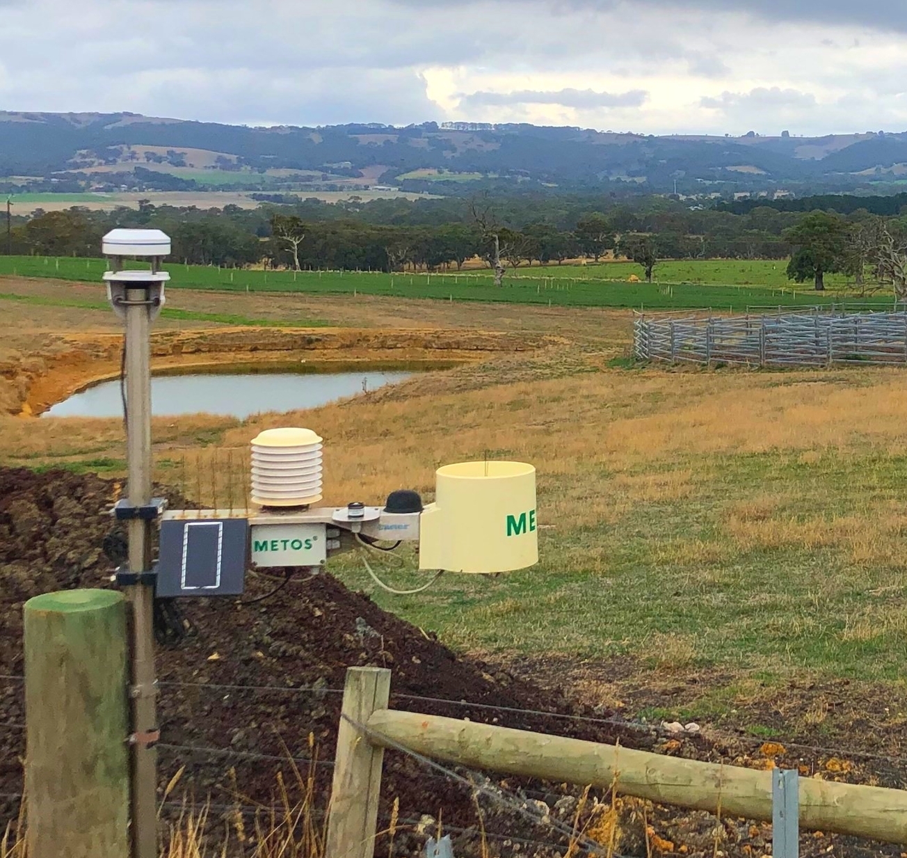
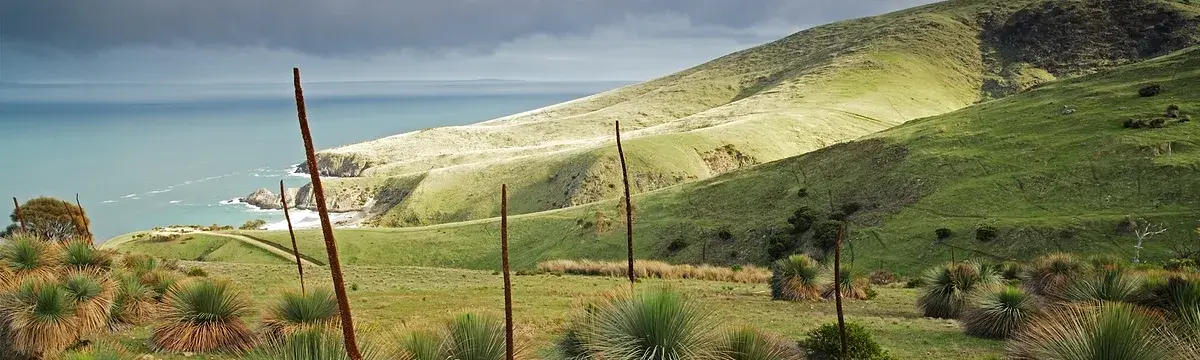
Automatic Weather Station Network
The Landscapes Hills and Fleurieu Automatic Weather Station Network collects and stores weather data from over 13 locations across the region. This network provides free access to both current and historic local weather conditions, supporting informed decision-making across various activities.
Each weather station collects data on: rainfall, temperature, humidity, global solar radiation, wind speed and direction. Based on the data collected, the following indicators are then calculated:
dew point
apparent temperature
growing degree days
chill hours
leaf wetness
frost hours
evapotranspiration
delta-T