Bushfire recovery support and resources now available for land managers affected by the Deep Creek and Nangkita fires.

Managing water resources, trends and data
- Project status Current
Managing our water resources in the Hills and Fleurieu
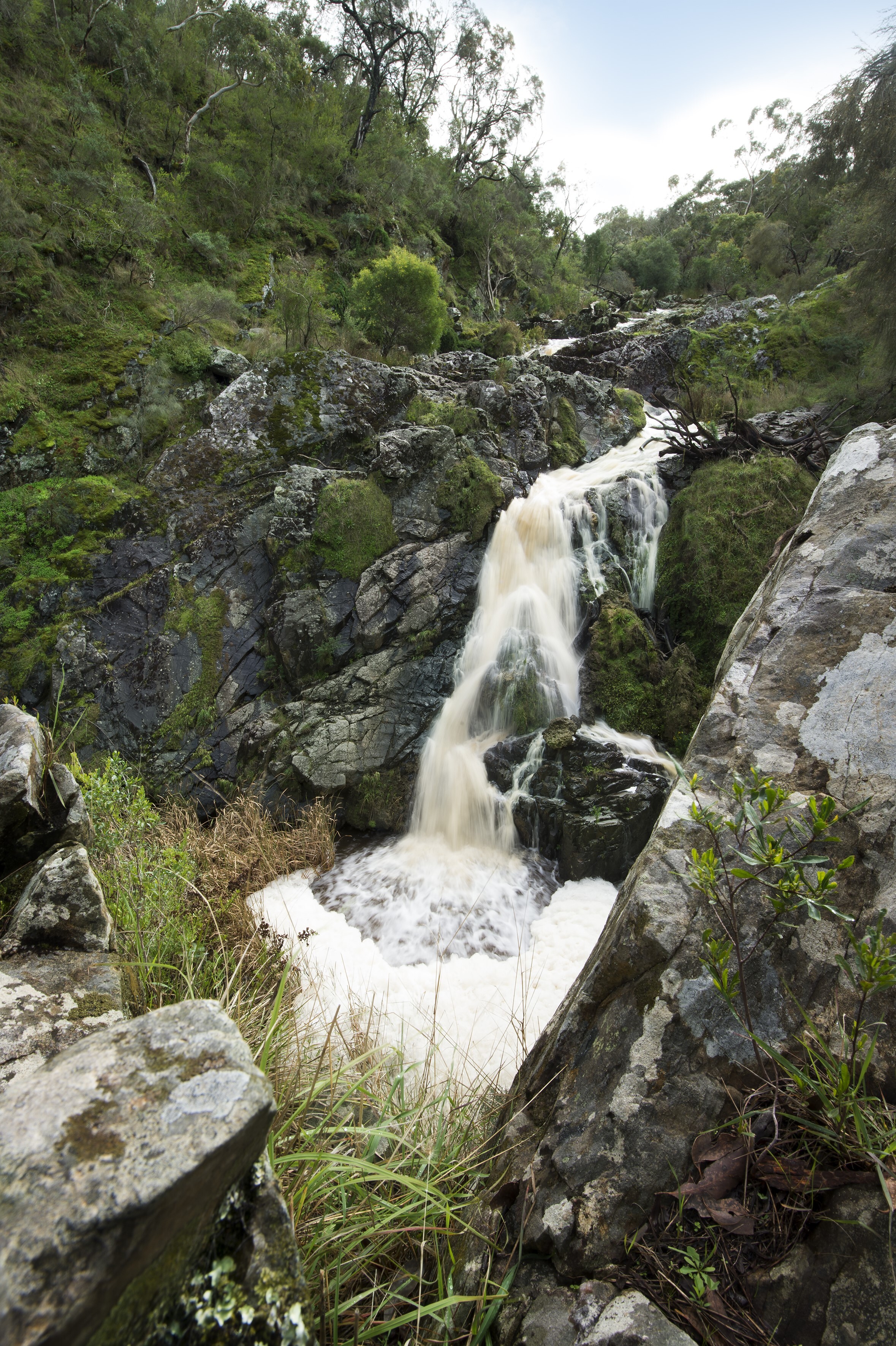
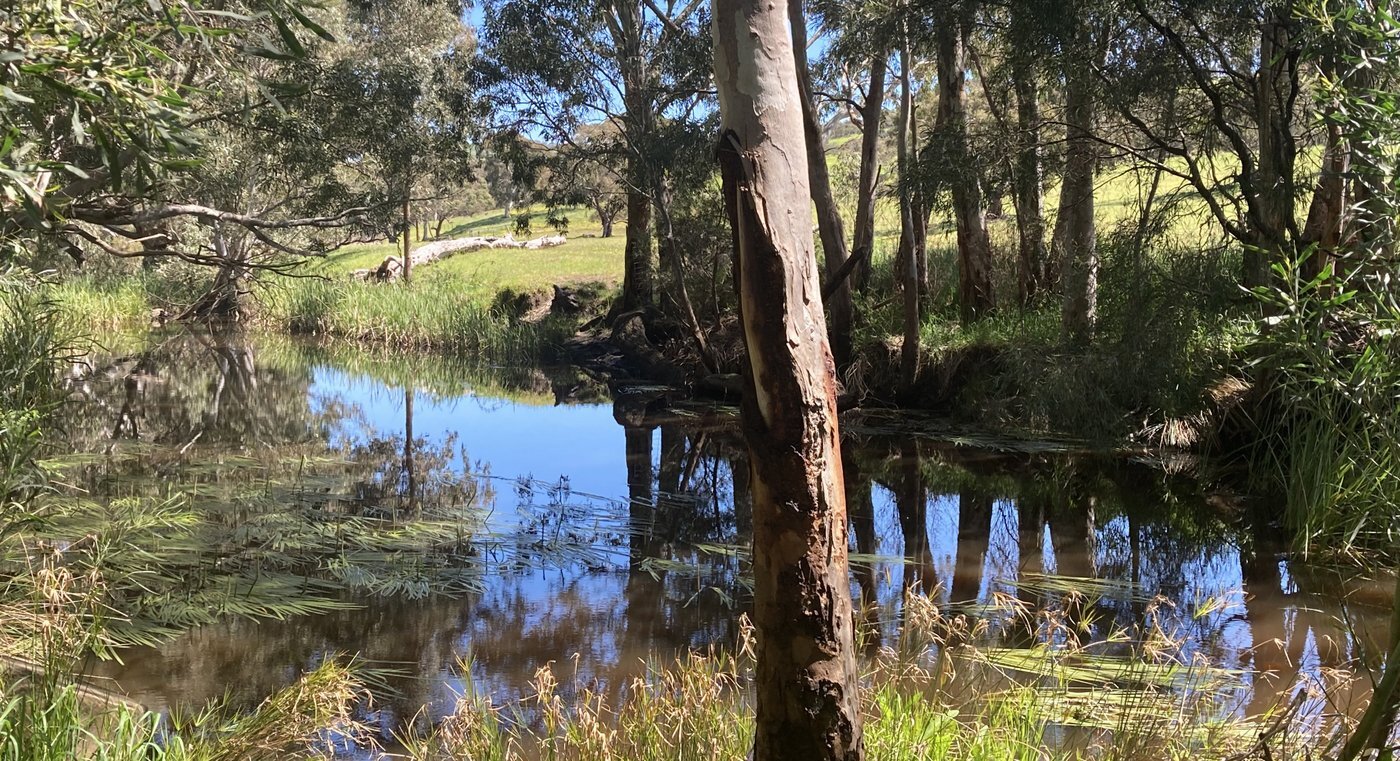
Water is essential for healthy ecosystems, productive farms, and thriving communities. In the Hills and Fleurieu region, managing water is about balancing the needs of people, agriculture, and the environment.
Landscapes Hills and Fleurieu works with landholders, community groups, and scientists to protect and improve water quality, monitor catchments, and support sustainable water use. We help manage creeks, rivers, and groundwater systems to ensure they remain healthy for generations to come.
Our work includes:
- Delivering water policy in the form of water allocation plans and water affecting activity permits.
- Supporting landholders with advice and programs to improve waterway health.
- Monitoring water quality and aquatic life to track changes over time.
- Protecting wetlands and other important habitats that filter water and support biodiversity.
- Working with local communities on practical solutions for better water management.
By working together, we can keep our region’s water clean, reliable, and sustainable.
Water catchment summaries
Catchment Summaries bring together important data on rainfall, water resources, water allocation and use, and environmental trends for each catchment area across the Eastern and Western Mount Lofty Ranges regions.
These summaries provide an easy-to-understand overview of our water resources to help raise awareness, highlight key trends, and support ongoing conversations about water management.
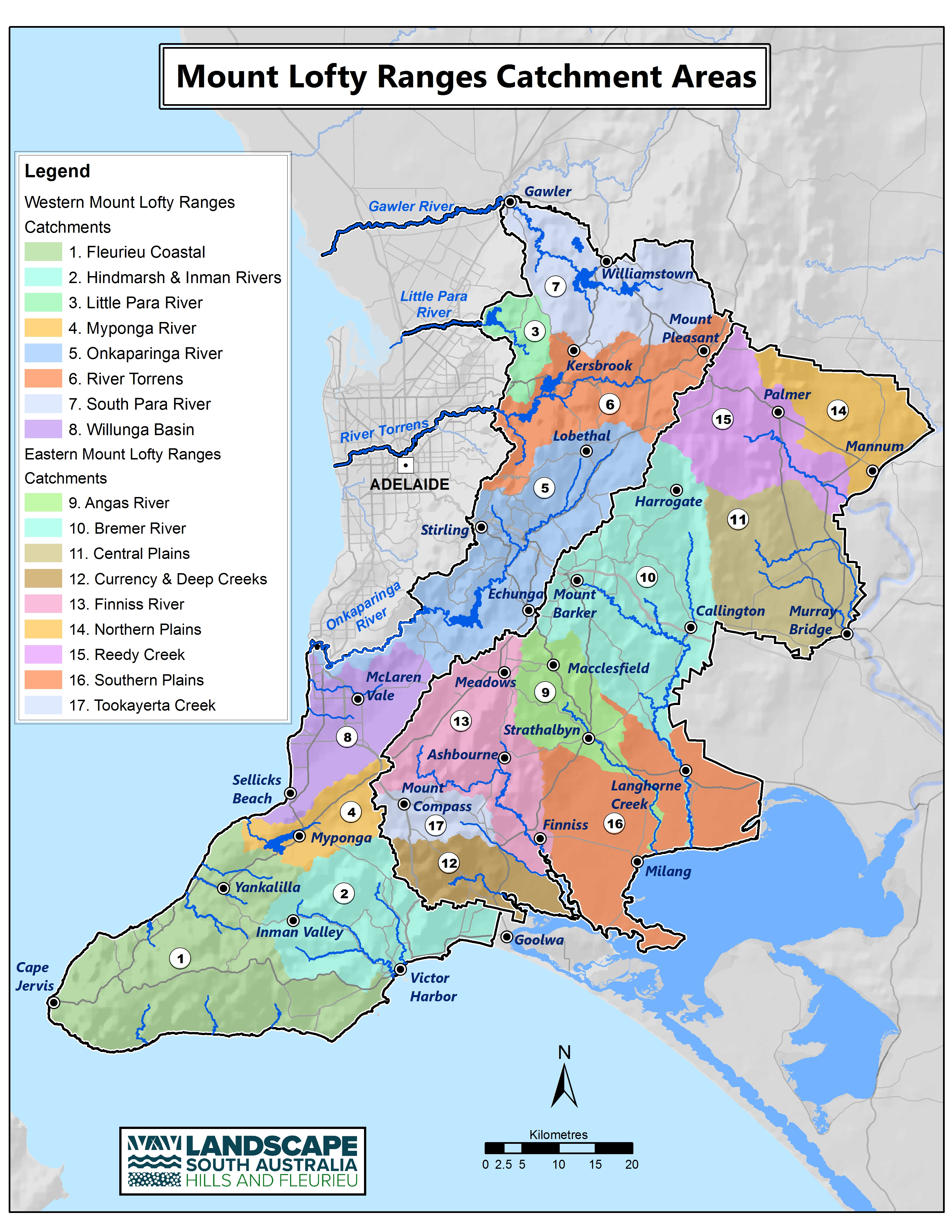
Download a catchment summary
The Catchment Summaries draw on data and insights from technical reports developed by the Department for Environment and Water including the DEW Surface Water Techincal Advice Memo_ 2023-02_FINAL
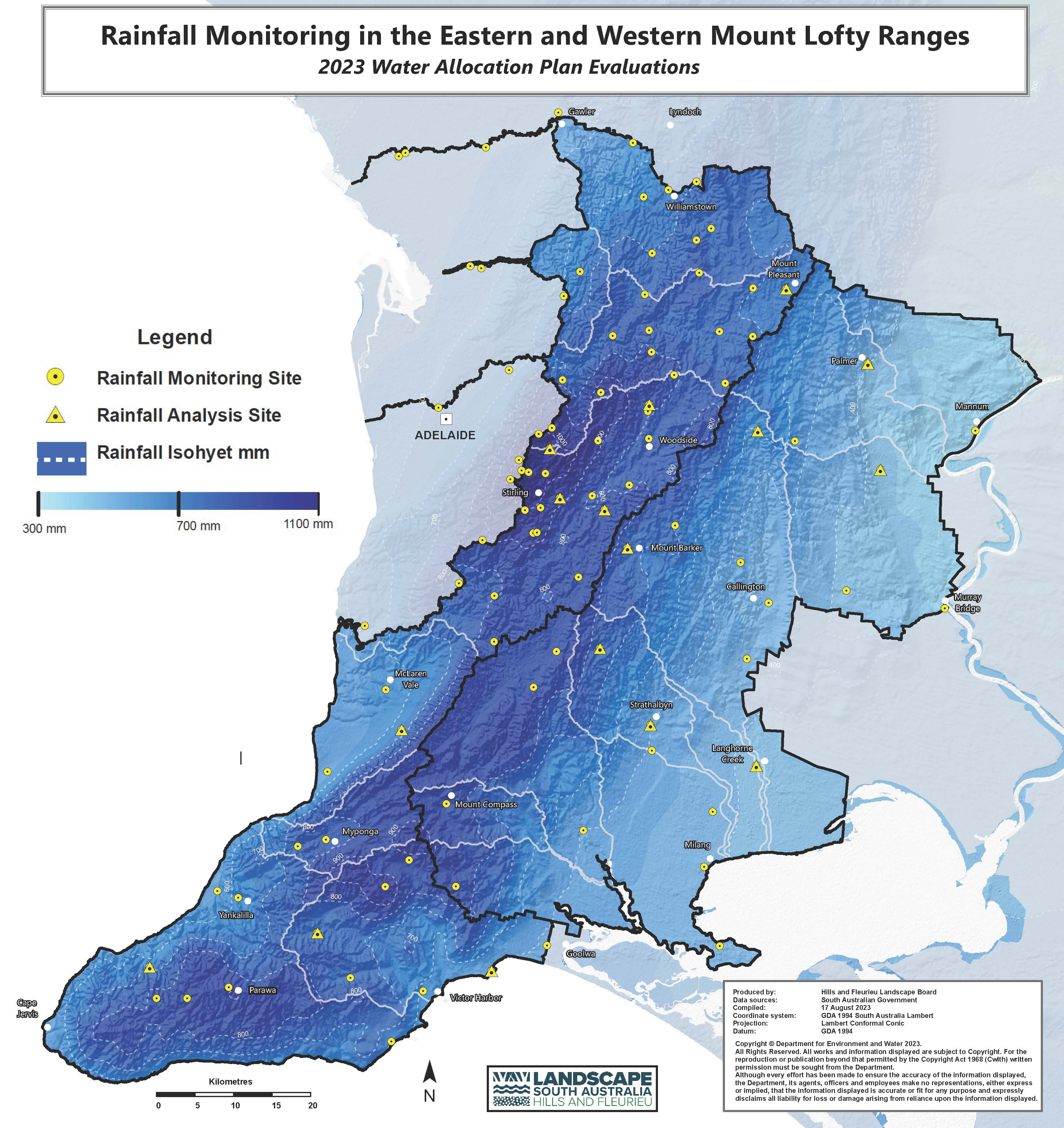
How Are Our Water Resources Tracking?
Water is at the heart of life across the Hills and Fleurieu, supporting communities, industries and the environment. Careful monitoring helps us understand how our water resources are changing over time and guides how we manage them for the future.
This map shows rainfall monitoring sites and total rainfall distribution across the Eastern and Western Mount Lofty Ranges.
- Yellow circles show sites with rainfall data collected over recent decades.
- Yellow triangles show long-term analysis sites with records dating back to 1900.
What the Data Shows
Since the current water allocation plans were adopted in 2013, monitoring has revealed a number of key challenges:
- Rainfall and streamflow are declining across the Mount Lofty Ranges.
- Ecological conditions and native fish populations are decreasing.
- In some areas licensed water allocations exceed plan take limits although actual use is generally lower.
- The rollout of low flow bypasses on dams has been limited. These bypasses are important for maintaining stream health and enabling higher take limits.